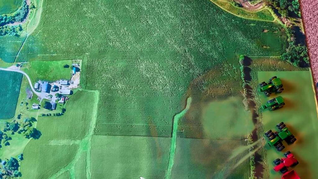
In today’s competitive agricultural landscape, farmers and agribusinesses must continuously seek innovative ways to optimize their operations and maximize returns. One such method that has gained popularity in recent years is farm mapping. This technology enables farmers to create detailed, accurate maps of their land, providing a wealth of valuable data that can inform better decision-making. In this article, we will explore the benefits of farm mapping for your agricultural business, as well as how UAV lidar mapping can further enhance your capabilities.
Improved Resource Management
One of the primary advantages of farm mapping is improved resource management. By obtaining a comprehensive view of your land, you can identify areas where resources such as water, fertilizers, and pesticides might be overused or underutilized. This information allows you to adjust your resource allocation accordingly, leading to increased efficiency and cost savings. Additionally, farm mapping helps you monitor and manage soil health, which is crucial for long-term sustainability and productivity.
Enhanced Crop Planning and Monitoring
Farm mapping also plays a vital role in crop planning and monitoring. Detailed maps enable you to determine the most suitable areas for planting specific crops based on factors such as type of soil, topography, and microclimate. This information can help you maximize yields and minimize risks associated with pests, diseases, and adverse weather conditions.
It allows you to track the progress of your crops throughout the growing season. By comparing current conditions with historical data, you can identify trends and patterns that may affect your harvest.
Streamlined Record Keeping and Compliance
Maintaining accurate records is essential for any agricultural business, both for internal management purposes and to comply with regulatory requirements. Farm mapping simplifies this process by providing a centralized, digital platform for storing and accessing information about your land, crops, and resources. This not only saves time and effort but also reduces the risk of errors and inconsistencies in your records.
It can help you demonstrate compliance with environmental regulations and industry standards.
Integration with UAV Lidar Mapping
These techniques offer numerous benefits, integrating UAV lidar mapping into your operations can take your capabilities to new heights. This cutting-edge technology uses unmanned aerial vehicles (UAVs) equipped with lidar sensors to capture high-resolution, three-dimensional data about your land. The resulting maps are incredibly precise and detailed, providing even greater insights into your agricultural operations.
Conclusion
Farm mapping offers a multitude of benefits that can help you optimize your agricultural operations, enhance productivity, and boost profitability. By leveraging this technology, along with advanced tools like UAV lidar mapping, you can gain a competitive edge in the fast-paced world of modern agriculture.