For centuries, the world’s oceans have been vital routes for trade, exploration, and cultural exchange. Navigating these vast waters safely and efficiently requires precise tools, and among the most essential are maritime maps. These detailed charts have played a crucial role in shaping human history and continue to be indispensable in modern navigation.
A Brief History of Maritime Maps
The origins of maritime maps date back to ancient civilisations, where early sailors relied on rudimentary charts and celestial navigation to traverse the seas. Over time, these maps evolved, incorporating advancements in cartography and technology. By the Age of Exploration, maritime maps had become sophisticated tools, enabling explorers like Christopher Columbus and Ferdinand Magellan to chart new territories and establish global trade routes.
The Role of Maritime Maps Today
In the modern era, marine maps have become even more precise, thanks to advancements like satellite imagery and digital mapping. These tools provide sailors with accurate information about water depths, coastal features, and potential hazards such as reefs and shipwrecks. Whether for commercial shipping, recreational boating, or scientific research, maritime maps ensure safe and efficient navigation across the world’s oceans.
Types of Maritime Maps
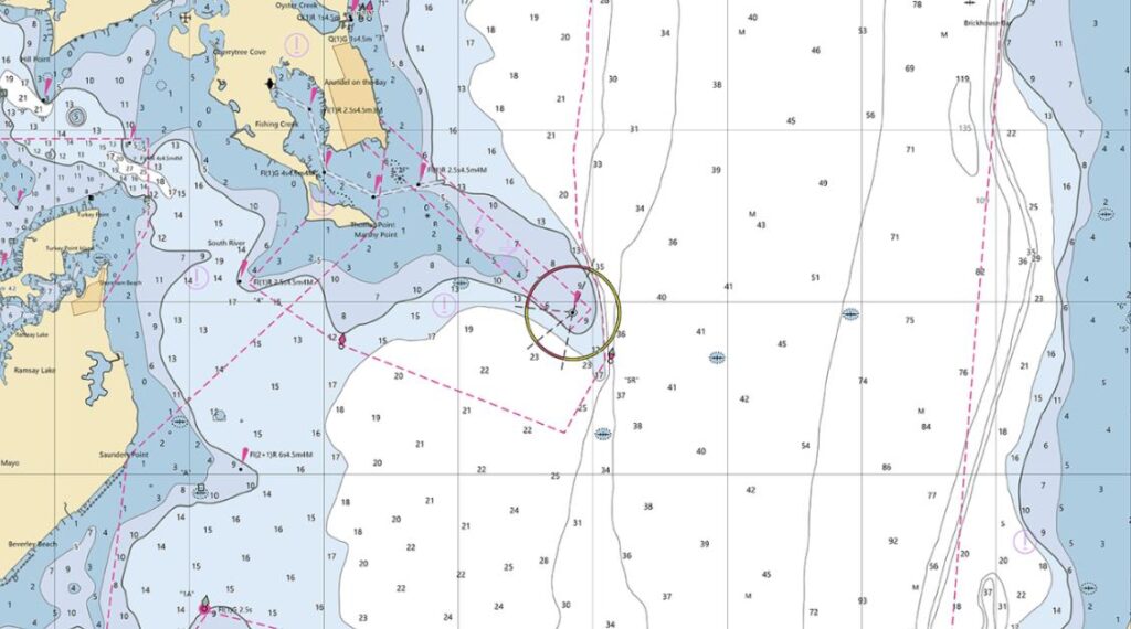
There are several types of maritime maps, each serving a specific purpose. Nautical charts, for example, focus on coastal areas and harbours, providing detailed information about tides, currents, and navigational aids. Oceanographic maps, on the other hand, depict underwater topography and are used for scientific research and resource exploration. Regardless of their type, these maps are essential for understanding and navigating marine environments.
Technological Advancements
The advent of digital technology has revolutionised the way maritime maps are created and used. Electronic navigational charts (ENCs) and GPS systems now allow sailors to access real-time data, making navigation safer and more efficient. These tools also enable the integration of weather forecasts and traffic information, further enhancing their utility.
Environmental and Economic Impact
Maritime maps are not just about navigation; they also play a vital role in environmental conservation and economic development. By identifying sensitive marine ecosystems and shipping lanes, these maps help minimise the impact of human activities on the ocean. Additionally, they support industries like fishing, tourism, and offshore energy by providing critical information about marine resources.
Conclusion
From ancient explorers to modern sailors, maritime maps have been an indispensable tool for navigating the world’s oceans. Their evolution reflects humanity’s growing understanding of the marine environment and our reliance on it for trade, exploration, and sustainability. Whether in the form of traditional charts or digital marine maps, these tools continue to guide us safely across the seas, ensuring that the oceans remain a vital part of our global future.